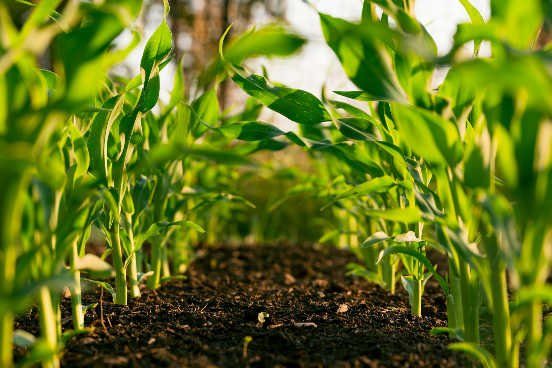
Take FarmDataViewer into the field. The mobile app lets you record observations, scout your crops, and capture field conditions on the spot — with everything synced back to the platform automatically.
Download the App


Scan the QR code with your phone to download
The field app is not included by default. It is available as part of the Field Trial package. Contact us for more information.
See It In Action
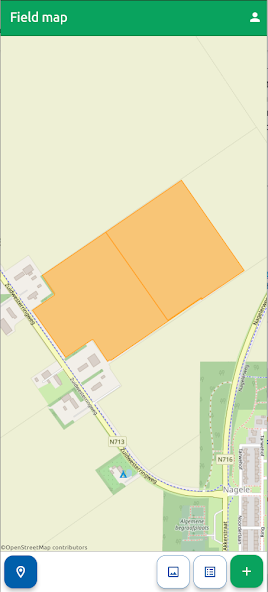
Field map with your parcels
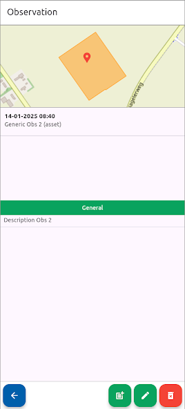
Observation detail view
Observations On The Go
Record what you see in the field, right when you see it. Capture observations with photos, GPS location, and structured notes — no need to write things down and enter them later.
- Quick observation entry with photo capture
- Automatic GPS location tagging
- Structured observation types and categories
- Works on phone and tablet
Field Navigation
See your fields on the map and navigate to the right location. Field boundaries from FarmDataViewer are available on your device, so you always know exactly where you are and which field you are working in.
- Interactive field map with your boundaries
- GPS positioning on the field map
- Quick field selection for observations
- Satellite imagery background layers
Seamless Sync
Everything you record in the field syncs automatically with FarmDataViewer. Your team in the office sees observations as soon as they are submitted, and you have access to the latest field and task information while on location.
- Automatic synchronisation with FarmDataViewer
- Observations available to the whole team instantly
- Access up-to-date field and task data in the field
- Offline-capable for areas with limited connectivity